ESTRADA REAL
TRECHO NORTE: Diamantina a Ouro Preto
Data: 27 de dezembro de 2016 a 10 de Janeiro de 2017
Formato: Linear Distância: 377 km Participantes: 1
ROYAL ROAD
NORTH SECTION: Diamantina to Ouro Preto, December 27, 2016 to January 10, 2017
Format: Linear, Distance: 377km, Participants: 1

A Estrada Real corresponde a aproximadamente 1300 km de rotas estabelecidas a partir do século XVII para escoar a produção de ouro e pedras preciosas de Minas a Paraty e posteriormente ao Rio de Janeiro.
Esta expedição percorreu a chamada rota dos diamantes de bicicleta e com os mesmos equipamentos utilizados para o percurso equivalente em quilometragem entre Osterhofen e Lindau da HOFERWEG.
/ The Estrada Real (Royal Road) corresponds to approximately 1300 km of routes established from the seventeenth century to flow the production of gold and precious stones from Minas to Paraty and later to Rio de Janeiro.
This bicycle expedition toured the so-called diamond route with the same equipment used for the equivalent kilometer journey between Osterhofen and Lindau by HOFERWEG. /
MENIRES
O percurso foi feito com um mapa bastante precário, sem a utilização de georeferenciamento digital.
A partir de 1999 o Instituto Estrada Real mapeou e balizou o trajeto, numa tentativa de estimular o turismo e o resgate da cultura desta região.
Os marcos distribuídos ao longo da estrada, mesmo que de forma errática em alguns momentos, e informações colhidas no caminho foram as principais referências de localização, como nas grandes travessias arcaicas.
/ MENHIRS: The route was followed with a rather precarious map, without the use of digital georeferencing.From 1999 the Instituto Estrada Real mapped and marked the route, in an attempt to stimulate the tourism and the rescue of the culture of this region. The landmarks distributed along the road, even if erratic at times, and information collected along the way were the main location references, as in the great archaic crossings. /
***


DIA 1: Diamantina a Milho verde
DIA 2: Milho Verde ao Serro

DIA 3: Serro ao Prado do Crescente

DIA 4: Prado do Crescente a Ipoema

DIA 5: Ipoema a Cocais

DIA 6: Cocais a Santa Bárbara

DIA 7: Santa Bárbara a Catas Altas

DIA 8: Catas Alta a Antônio Pereira

DIA 9: Antônio Pereira a Ouro Preto
) ) )

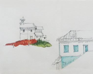
O mais impactante na realização deste trajeto no ritmo da bicicleta foi perceber como ainda hoje a paisagem se apresenta como um mapa de cadeias de montanhas com desenhos muito particulares que visualizamos e atravessamos para encontrar a próxima referência visual que vai orientar nosso caminho.
The most striking thing about this bike path was to realize how the landscape is still present today as a map of mountain ranges with very particular designs that we visualize and cross to find the next visual reference that will guide our way.